
Returning to the Western Desert: Forms and Textures
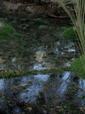
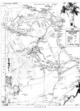 Map of Egypt's Western DesertThe Western Desert in Egypt - from the desert oases of Farafra (with hot springs) and Dahla, to Uweinat mountain at the border of Sudan and Libya, then north to Gilf Kebir, with the Cave of the Swimmers on its western cliffs and the mythical "lost oasis" of Zerzura, and back through The Great Sand Sea (with the very rare naturally formed silica glass), through The White Desert to the oases of Farafra and Bahariya. All photos: Copyright© Rita Mendes-Flohr 2007 | 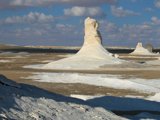 The White Desert | 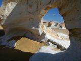
| 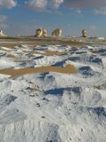 White Desert |
 Farafra oasis |  Farafra Oasis | 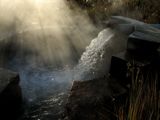 Hot spring at Farafra | 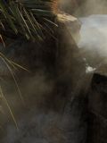
|
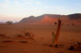
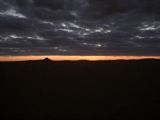 Sunrise South of Dahla | 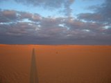
| 
|  Yardangs in Mudlake |
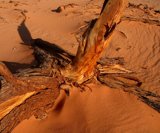
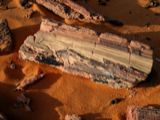 Petrified tree | 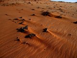
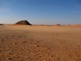
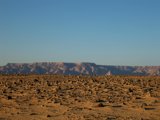
| 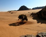 Uweinat | 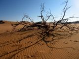
|
 Uweinat | 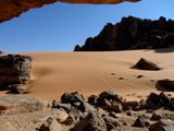
|  Uweinat | 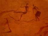 Uweinat |
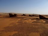
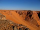
|  Gilf Kebir | 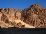 Wadi Sura | 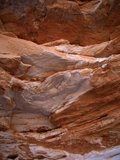
|
| 
| 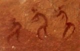
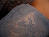
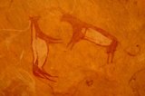
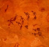
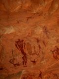
| 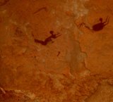 Cave of the Swimmers in Wadi Sura |
| 
| 
|  On Gilf Kebir |
|  Zerzura - Wadi Abd el Malek | 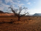
|  Wadi Abd el Malek |
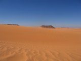
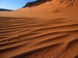 Wadi Abd el Malek | 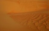 The Great Sand Sea | 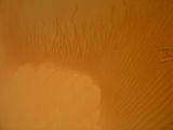
| 
|
Page 1 of 2 »